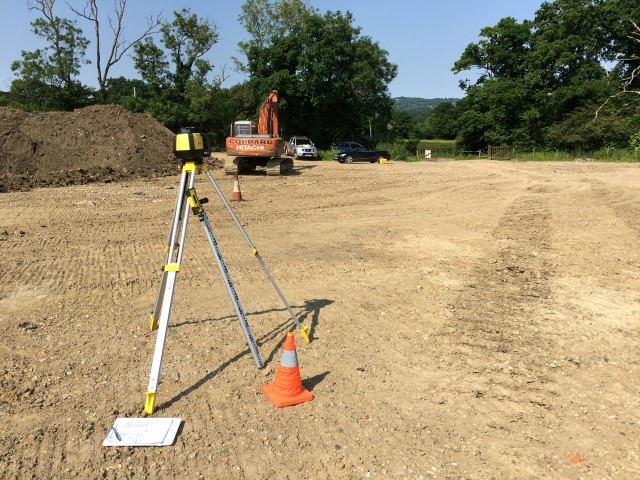
What is a Topographical Survey ?
A Topo survey is an accurate survey of a piece of land showing gradients, levels and points above sea level
Please call to discuss your individual requirements : 01732 7007007
We will arrange to visit your site and take measurements to your specifications.
A CAD drawing and Excel Figures will then be produced for you to peruse
Our aim is to produce a deliverable that you can work with for your project
